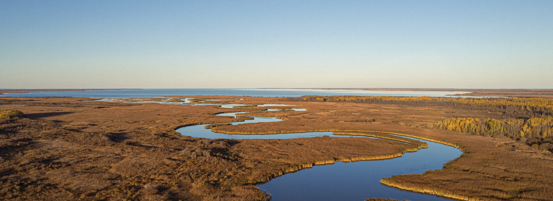
the lake winnipeg community-based monitoring network
Whole-ecosystem science at the IISD Experimental Lakes Area has identified phosphorus as the root cause of algae blooms on Lake Winnipeg. Phosphorus comes from many sources within Lake Winnipeg’s watershed, and measuring phosphorus runoff from the watershed can be challenging and costly. That’s where community-based monitoring comes in!
The Lake Winnipeg Community-Based Monitoring Network (LWCBMN), led by LWF, is a network of volunteers and watershed districts collecting water samples to measure phosphorus in the Lake Winnipeg watershed. The network is designed to identify localized phosphorus hotspots, areas where phosphorus-reduction efforts should be targeted.
people powered: our nimble network
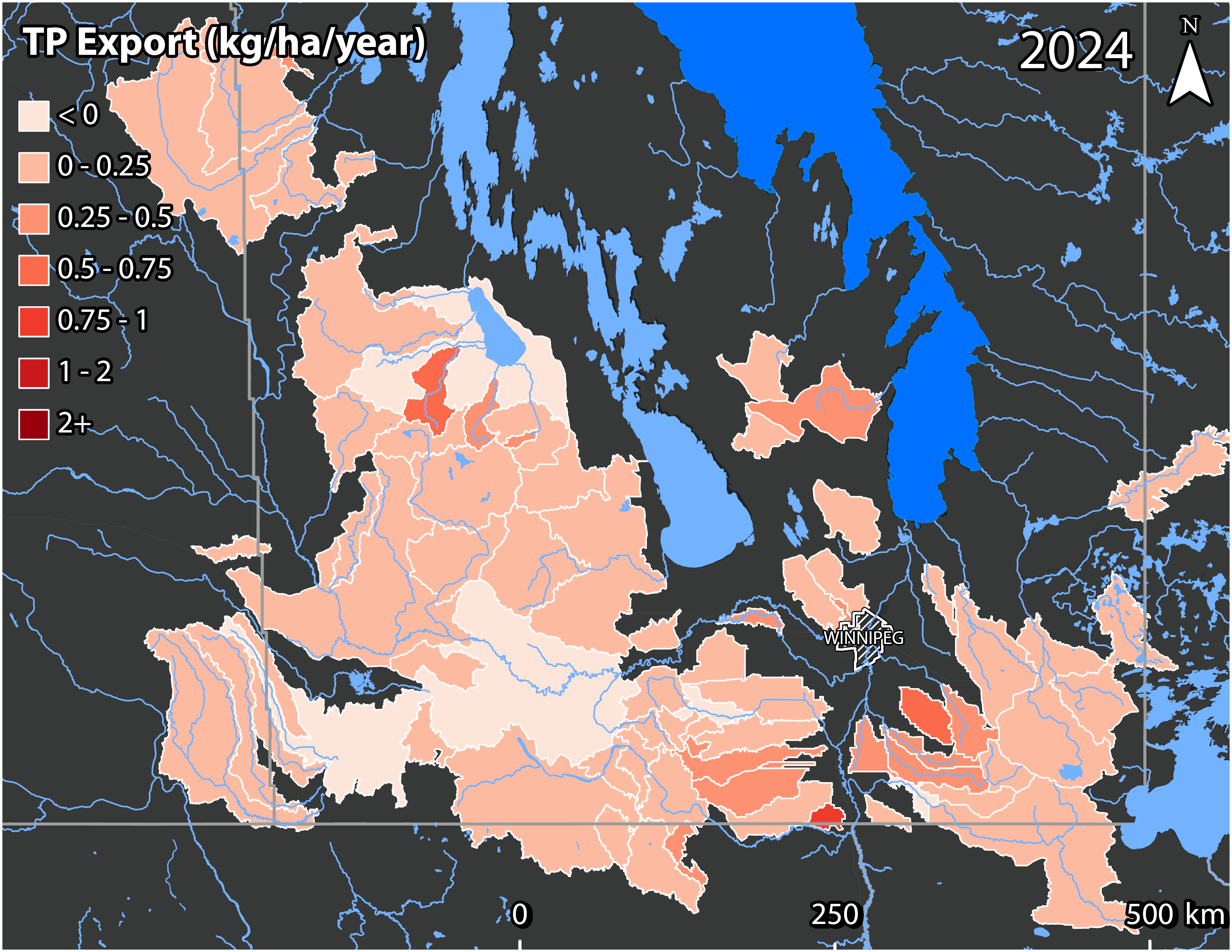
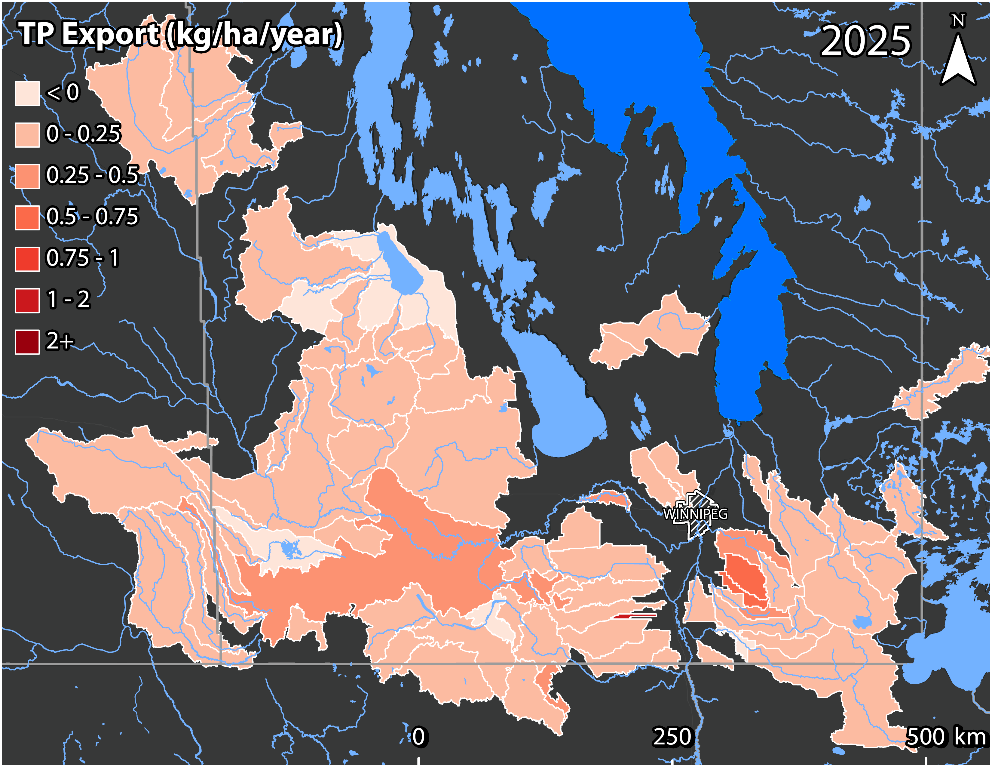
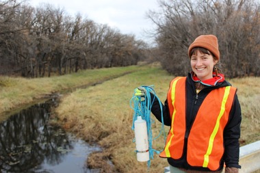
What makes our network stand out is its geographic reach and responsive nature, made possible by its community-based approach. Together, we monitor 117 sites across 12 watershed districts in southern Manitoba. Instead of a single organization collecting samples based on a fixed schedule, LWCBMN volunteers and watershed district partners are out on the landscape, trained and ready to collect phosphorus samples when local conditions call for it.
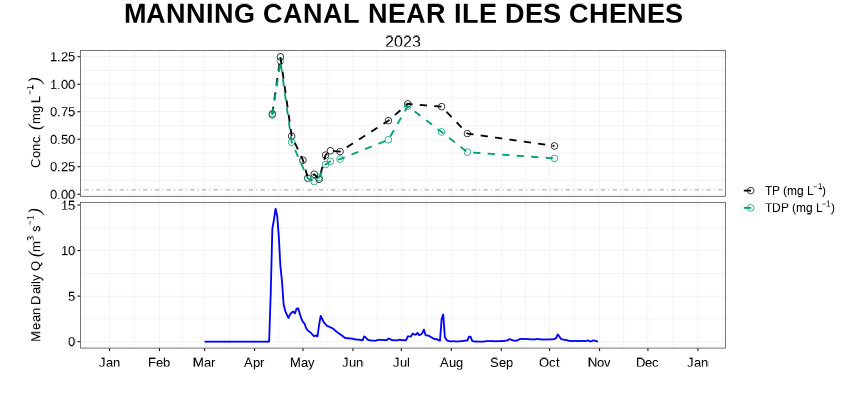
The most important times to collect water samples are during the spring snowmelt and after heavy rain, when large amounts of water wash phosphorus off the land and into our waterways. Collecting samples during these key runoff events helps us estimate phosphorus contributions more accurately. Network partners and volunteers sample frequently at many smaller tributaries, which helps us break down the larger watershed to pinpoint phosphorus hotspots. In 2025, 62 volunteers and 10 watershed partners collected over 3500 water samples. These samples are then analyzed by LWF staff in the lab, and the data is used to generate maps of phosphorus hotspots in southern Manitoba.
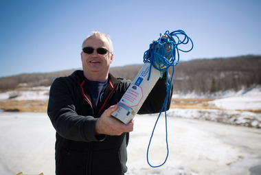
journey of a sample
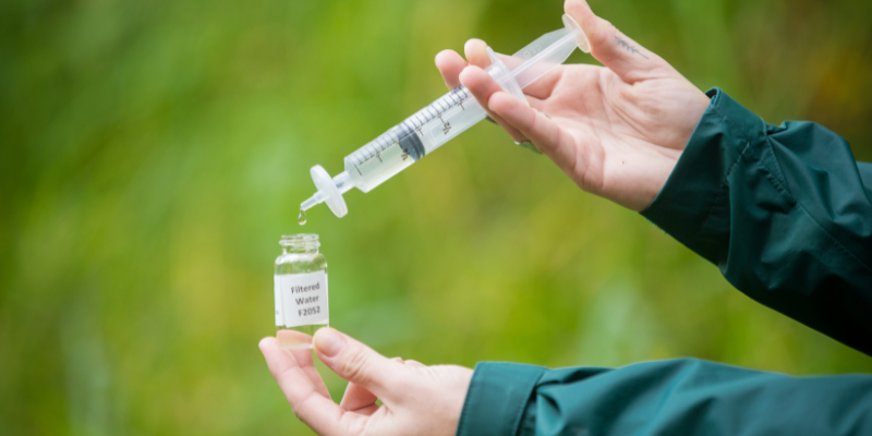
Follow along to learn how the Lake Winnipeg Community-Based Monitoring Network (LWCBMN) generates the data needed to identify phosphorus hotspots.
volunteer stories
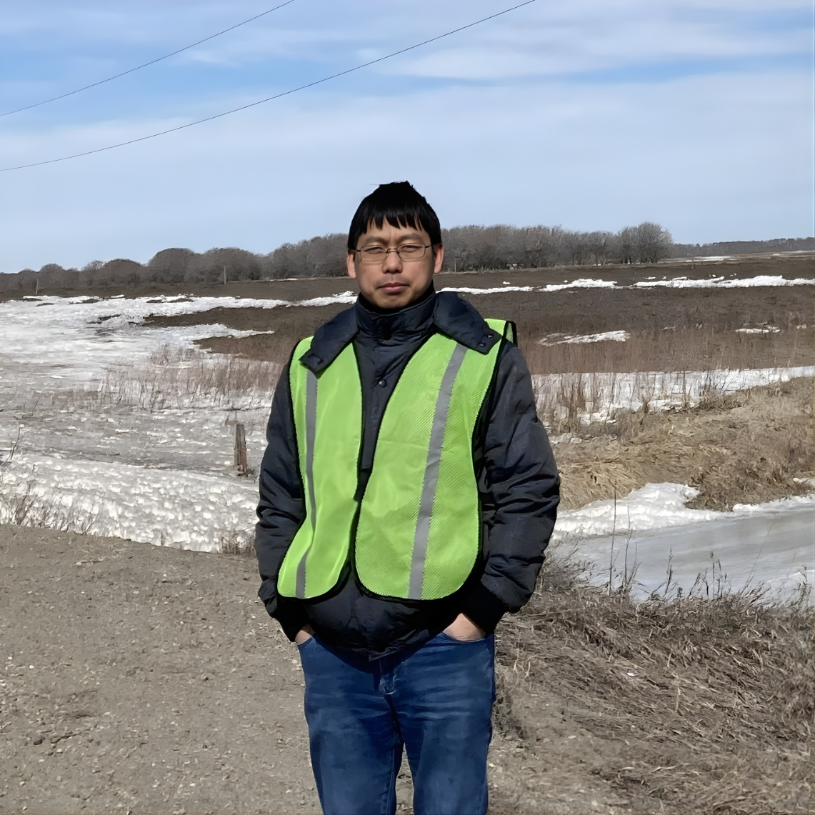
Bingqi Zhu
Originally from China, Bingqi Zhu is a Research Assistant in Brandon, MB, working on agricultural climate solutions at Assiniboine College. He began volunteering with LWCBMN in 2024, sampling at Plum Creek near Souris.
For Bingqi, volunteering is both meaningful and refreshing. Water sampling offers a break from his studies, a chance to connect with nature, and an opportunity to help protect Lake Winnipeg. Being part of the Lake Winnipeg Foundation has also given him a strong sense of community and belonging.
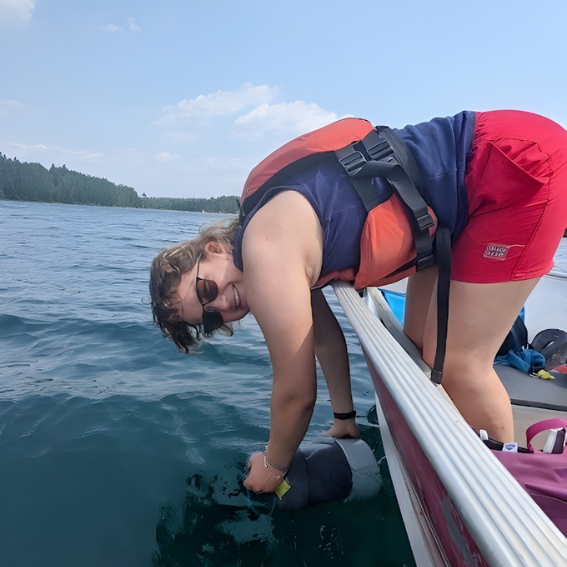
Zoë Araneda
Zoë is a soon-to-be hydrologist and lifelong water enthusiast from Winnipeg. She joined the network to connect with local water scientists and help protect Lake Winnipeg. “The lake’s phosphorus issues have shaped my studies from the start,” she says.
She samples at Elm Creek, where she enjoys open skies, barn swallows, and the chorus of frogs. “Visiting the site is really meditative,” she shares. For Zoë, community science is about connecting people to their environment. “Seeing and interacting with waterways motivates people to protect them,” she explains.
Jason Barnabe
Jason Barnabe’s connection to Lake Winnipeg began with childhood summers at family cottages in Matlock. Today, he’s turning that lifelong love of the lake into action.
As an LWCBMN volunteer, Jason collects water samples on the Seine River near Prairie Grove, often biking to his sampling site. Jason also invites people to explore the Seine River by kayak, through his small rental business, Horned Owl Kayaks. Instead of making a profit, he encourages customers to donate to environmental charities, including LWF, so every paddle helps support local conservation efforts.
Volunteer with LWCBMN
Looking for a hands-on way to get involved? Become a network volunteer!
Our volunteers collect samples frequently throughout the spring melt and after all large rain events. Sampling is less frequent in dry seasons. Collecting a water sample takes about five minutes, and all equipment and training is provided.
To learn more, please contact LWF Program Coordinator Fallon Moreau.
the districts behind the data
Twelve Manitoba watershed districts play a vital role in our network’s success. As local environmental organizations, watershed district are the “boots on the ground” when it comes to water stewardship. District staff know their communities well and help recruit new LWCBMN volunteers. Many districts also collect samples and help interpret data, contextualizing LWCBMN results based on their experiences throughout the field season.
